Brean Down
is one of the most dramatic landmarks of the Somerset Bristol Channel . From end to end, the down is 2.4 km long and 100 meters above sea
level at its highest point.

 |
| Brean beach |
How Brean
Down was formed.
Brean Down
is the last part of the great chain of the Mendip Hills, before the dip into
the Bristol
channel .
It is made of carboniferous limestone, formed about 300 millions years ago.
Great movements of the earth’s crust later folded the rocks into crests and
troughs, giving Brean Down the shape it has today.


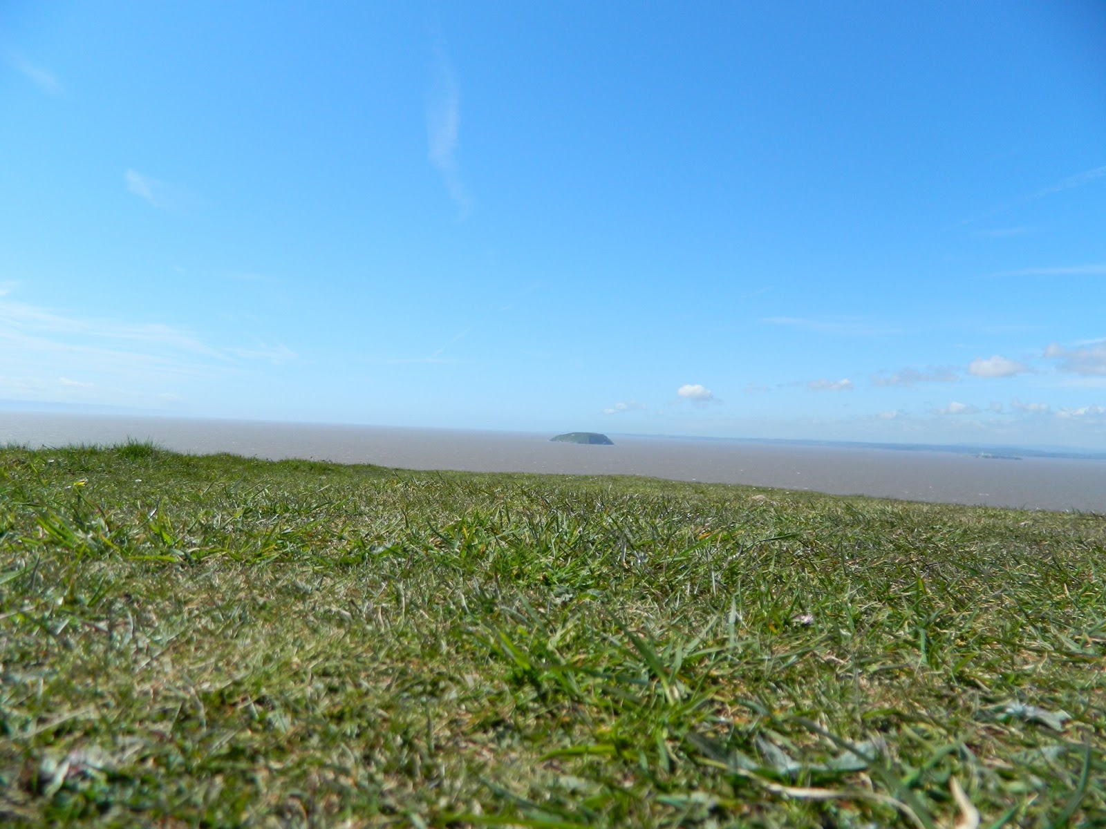 |
| Steep Holm island view from Brean Down |
Brean has
the second Largest tidal movement in the word – the distance between high water
and low water can be as much as 1.2km. The current at the tip is incredibly
strong (4knots)- in strong wind, watch for the spectacular `standing waves`.
 |
| strong wind |
Brean Fort
The fort
was built in 1870 to protect against French invasion. It is open to visitors
for free.
 |
| Brean Fort |
In 1865, a
series of forts was commissioned around the country to protect the approaches
to major harbours and ports from French invasion. Brean Fort was one of these,
becoming operational in about 1870. It had seven rifled muzzle loader guns and
was manned by 20 men in peacetime.

 |
| clif |
Durning the
Second word War, the fort was re-armed with anti-shipping guns. It was part of
a chain of forts across the Bristol channel which defended Barry, Cadriff and Bristol
 |
| Barrack Room |
 |
| Gun emplacement |
 |
| Gun emplacement |
Brean down
lies between Weston-Super-Mare and Burnham-on-Sea.
After your
walk, why not pop into the National Trust café for fish&chips and a cup of
tea, or cool down with an ice cream and cold drink. There is also an National
Trust shop selling gifts, souvenirs and local crafts.

No comments:
Post a Comment